Heavy Snowfall Hits GTA as Winter Storm Brings Travel Warnings
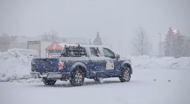
TORONTO :Snow has begun falling across the Greater Toronto Area, prompting officials to urge residents to limit travel and plan ahead as a powerful winter storm bears down on the region this weekend.
Environment Canada has issued an orange winter storm warning for much of the GTA, forecasting between 20 and 40 centimetres of snow, with higher amounts possible in some areas due to lake enhancement.
Lake-effect snow was already falling along the Lake Ontario shoreline Sunday morning. According to Environment Canada and CBC Toronto meteorologist Colette Kennedy, the main storm system is expected to arrive around 11 a.m. and persist through most of the day.
Temperatures are expected to reach a high of –8 C but feel closer to –21 C with the wind chill. The heaviest snowfall is forecast between 2 and 7 p.m., though it could extend later into the evening.
Winds gusting up to 50 km/h are expected to cause blowing snow and periods of near-zero visibility, particularly in shoreline communities where accumulation may be highest.
Environment Canada warned the storm could lead to significant disruptions to transportation and utility services across the GTA.
Ontario Provincial Police Sgt. Kerry Schmidt urged drivers to slow down and prepare emergency kits with food, water, blankets and extra winter clothing before travelling.
“Having these supplies in your vehicle could make the difference between having a good day that you’ll get through or a really, really rough one,” Schmidt said in a social media post Friday.
CBC Toronto said it will continue to update the story as conditions evolve.